The things I sit around thinking about. I just did a blog posting on the cool map that NOAA has to predict storm surge, and particular around Jupiter Florida.
The actual storm surge for Hurricane Idalie at Cedar Key.
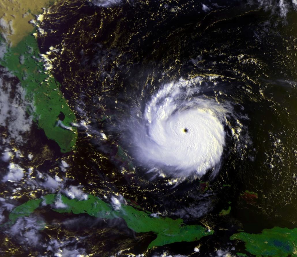
The measured storm surge for Hurricane Ian.
The measured storm surge for Hurricane Helene at Cedar Key
CLICK HERE for the short(er) version of the answer to this question.
I wanted to see how the forecast surge aligned with my real world observations of the storm surge water levels at my house in Hurricane Jeanne in 2004. This led me to an interesting question. How can I tell how say a 5′ storm surge relates to the elevation of my house?
First my real world observation. I recently went through a whole bunch of work to file for and obtain a Letter of Map Amendment (LOMA) from FEMA for my house east of US-1 in North Palm Beach. During that process I asked the surveyor to locate and flag the 6′ NAVD 88 elevation contour in my front yard as this the Base Flood Elevation (BFE) shown on the FEMA FIRM. I remember where the water came up to in 2004 during hurricane Jeanne and that was with a reported 5′ storm surge at the FP&L power plant in Riviera Beach near me. The actual high water line at my house for Jeanne was indeed just below this 6′ contour and again, in our area the mean high high water line is at +0.55′ by this NAVD 88 datum. I also know (look at your Flood Elevation Certificate or building plans) the finished floor elevation of my house is +7.5′ NAVD 88. So does that mean that with say an 7′ storm surge, (7’+0.55′) is my first floor is wet or nearly wet?
Intuition would tell us yes and it turns out intuition is right in this case. Storm surge is the water level ABOVE the CALCULATED ocean water LEVEL ON THAT DATE. Storm surge is caused by the temporary effect of the wind and low pressure of a hurricane. It is added to whatever the tide happens to be when the storm hits. But tide calculations fluctuates based upon the time of the year, the cycle of the moon and even day (higher) vs night. In south Florida we are all aware of this and what we call the ‘King tides’ which happen to occur in, you guessed it, hurricane season.
First we need to ask what is mean high high water? Well, at the Lake Worth Pier the Mean High High Water (MHHW) is given as +0.51 ft ABOVE the NAVD88 datum. The CALCULATED high water line in at +0.51 ft using the same datum or reference line used by surveyors to show the elevations of my land and the first floor of my house. However this MHHW changes based upon where you are . If you want to know this then look at the NOAA tide station near where you live and the sensor information page.
Looking at my flood Elevation Certificate (EC) for my house I noted that my FF EL = 7.5′ (NAVD 88). Thus, if the forecast is for a 7′ storm surge ABOVE THE CALCUALATED MHHW OF +0.51′ then my house finished first floor should be wet. Always remember, hide from wind, RUN from water.
If you have an old survey or elevation certificate for your house which give the elevation of your floor in the 1929 datum then THIS POST will show you how to translate this to the newer 1988 datum.